/ Projects and Programs / Demonstrating the Capabilities of Topobathymetric LiDAR Mapping in Support of DOT Project Planning and Implementation

Demonstrating the Capabilities of Topobathymetric LiDAR Mapping in Support of DOT Project Planning and Implementation

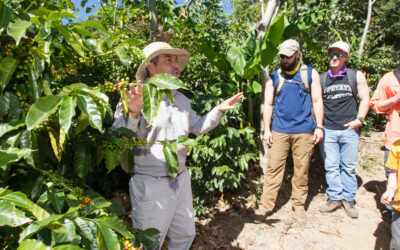
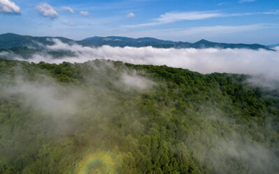
This project focuses on leveraging Unmanned Aerial Vehicles (UAVs) to efficiently monitor soil erosion and bathymetric changes resulting from dam removal. The recently removed Ward’s Mill Dam on the Watauga River in Western North Carolina serves as a case study. The project aims to compare UAV-based pre/post-removal data to understand how southern Appalachian river systems respond to the removal of dams of similar type and size.

The introduction of Bathymetric Light Detection and Ranging (LiDAR) enhances data collection precision. The project assesses the accuracy of UAV-based LiDAR and optical data to detect changes in riverbanks and riverbeds post-dam removal. Furthermore, the study evaluates the potential of combining different UAV-based sensors (e.g., LiDAR and optical camera) for surveying topography and bathymetry in various waterbodies.

Multi-institutional
August 15, 2022
– August 14, 2024

Project Details

Funded by NC Department of Transportation via UNC-Wilmington

(External Funding)

Administrative Unit

Appalachian Energy Center (AEC)

Research Theme

Project Team Members

Chris Schoonover

Practitioner-in-Residence

Song Shu

Assistant Professor

Ok-Youn Yu

Department Chairperson
Professor

More Projects and Programs

Agroforestry For Climate Risk Management: Effectiveness of Windbreaks In Reducing Crop Loss In Midwest, USA
USDA National Institute of Food and Agriculture (NIFA) via University of Missouri at Columbia

The primary goal of this project is to evaluate the effectiveness of windbreaks in reducing wind-related crop loss at a regional level. Using data from remote sensing, crop insurance, and…


Peru mountains
National Geographic Society (NGS)

To advance our scientific comprehension of spatiotemporal precipitation patterns in the region, the Universidad Nacional de San Antonio Abad del Cusco (UNSAAC), in collaboration with National Geographic Explorers Dr. Baker…